Seventeenth-Century Canal Ring Area of Amsterdam inside the Singelgracht
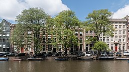
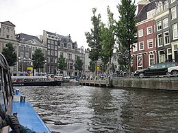
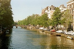
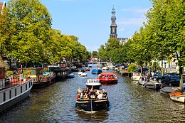
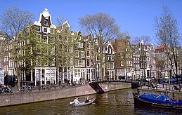
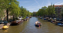
The historic urban complex of Amsterdam's canal district was a project for a new "port city" built in the late 16th and early 17th centuries. It included a network of canals to the west and south of the historic old town and the medieval port surrounding the old town, while relocating the city's defensive border, the Singel, inland. It was a long-term plan that involved extending the city by draining marshland, using a system of canals in concentric arcs, and filling in the spaces in between. These spaces allowed the development of a homogeneous urban complex with gabled houses and numerous monuments. This urban extension was the largest and most homogeneous of its time. It was a model for large-scale town planning and was a reference worldwide until the 19th century.

.jpg)

Poem of the heritage generated by AI
Intangible culture related to the heritage
China tourist attractions related to the heritage
World heritage related to the heritage
Information extracted from Wikidata
| executive body | Canals in Amsterdam |
| office held by head of the organization | http://g.co/kg/m/03cdmdg |
| is a list of | Memphite necropolis |
| Commons category | Canals in Amsterdam |
| coordinate location | Point(4.887777777 52.365) |